


Stuart Ross (Scotland) Ltd
Kaslo The Knoll, Roy Bridge, Inverness-

For Self catering in Fort William Click here


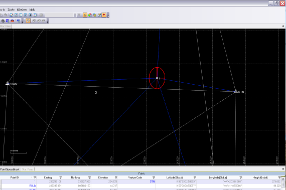
Post Processing Trimble Business Centre
While reference is made to post processing
as the general handling of survey data up to the stage of producing a cad drawing
the term post processing to GPS surveyors means the specific calculation of vectors
between two, or more, GPS receiver and antenna set ups using specialised GPS software.
The presumption being that there is concurrent data from the same SVs to receivers
mounted at different positions on the surface of the Earth. It is then possible to
calculate their relative positions. The most accurate method of measurement by GPS
is calculated in this way. Navigation data for each SV, critical to valid solutions
is transmitted with the observation data as the SV crosses the sky. The real time
navigation data will itself have slight errors and the best solutions are derived
using retrospective navigation or precise ephemeris data. This can be downloaded
from various international web sites hours or days after the survey. The accuracy
of a vector is a function of base line length, occupation time, data quality and
number of SVs tracked.
The most common application of this method in our day to day work is to calculate the true position of our base station at the time of the survey. Extensive use is made of the OS GPS National Network where 24/7 data can be downloaded from the most local OS active stations. Typically we select five. Network adjustment algorithms are used to calculate the best solution and it is possible to weight stronger vectors as part of this process. It is obviously possible to install a tight control network of internal site stations with shorter occupation time static set ups. The final part of the jigsaw is to be able to incorporate total station data within the same program and the latest version of TBC now deals with this.

Post Process GPS
- Highest accuracy over long base lines
- Best solution for control networks on large sites
- No radio or cellular network coverage necessary
- Low power consumption; work can continue with lightweight batteries
- Line of sight point to point not needed
- Also an option for RTK fill in in pockets of poor radio reception
- Operator can utilise observation time to evaluate other aspects of project

Real Time Kinematic GPS
- Instant vector solution with statistics
- Light weight all on the pole single operator system
- While dependant on radio; better than line of site measurement possible up to 8km
- Ideal instrument for mountain and open wilderness terrain
- Option for PP RTK fill in in pockets of poor radio reception
Click for more on OS GPS the Network

Beautiful Loch Tearnait Crannog provides an idyllic back drop.
Trimble R8 base receiver on a hill top simultaneously transmits RTK correction and logs raw data, in this case, at 2 second intervals to both provide a solution from OS RINEX data for its own position and to offer RTK fill in option for surveyors working at extremities of this very large and remote site.